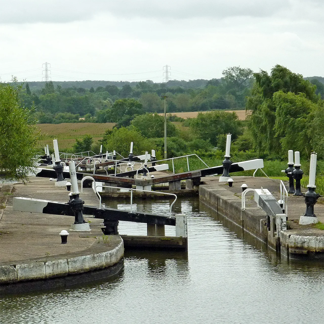

Arup's updated assessment maps potential grey belt land across Solihull borough. The council says it sets no policy; the draft Local Plan is due in autumn 2026.
Solihull Council has published an updated Green Belt Assessment for the borough, the evidence document that will help decide which countryside is protected, and which sites could be argued open for development, in the next Local Plan. The assessment was produced by the independent consultancy Arup and replaces the council’s previous green belt study from 2016. (Solihull Council announcement, 28 July 2026)
The headline change from the 2016 work is a new category: grey belt. The updated assessment identifies areas of potential grey belt land across the borough, applying the definition introduced by the revised National Planning Policy Framework in December 2024 and planning guidance updated in February 2025. Grey belt broadly covers green belt land that makes a weaker contribution to the green belt’s purposes, including previously developed sites, and national policy treats it as land where development can be easier to justify. (National Planning Policy Framework, GOV.UK)
Three documents have been published: a covering statement, the borough-wide Green Belt Assessment itself and a final Green Belt Village Study. All are on the council’s emerging Local Plan pages.
“Not council policy”, says the cabinet member
The council has gone out of its way to lower the temperature around the publication. Cllr Andy Mackiewicz, cabinet member for climate change and planning, said the updated assessment is “needed as an evidence document to inform our emerging Local Plan” and “should not be viewed as setting Council policy”. He added that identifying potential grey belt land “does not mean those areas are suitable for development”, and does not mean whole parcels would automatically be considered for it. (Solihull Council)
The council is not inviting comments on the assessment at this stage. The chance to have a say comes at the next Local Plan consultation, and the council says it published the assessment early precisely so residents have time to read it before then. An independent planning inspector will also test the evidence when the plan reaches examination.
Where this sits in the Local Plan timetable
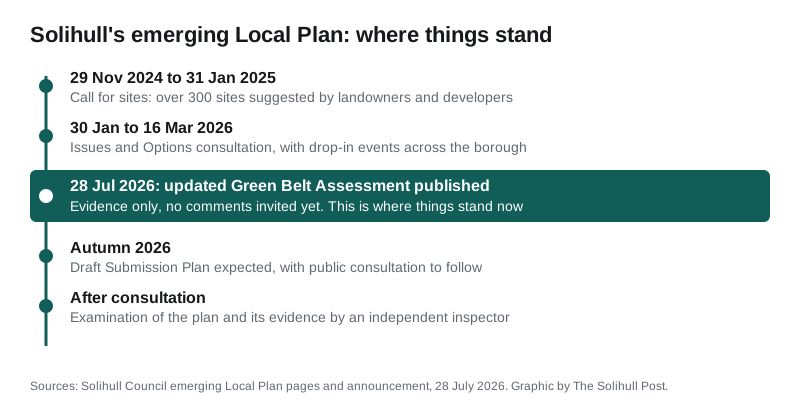
The assessment is the latest step in a plan-making process that has been building for almost two years. A call for sites between 29 November 2024 and 31 January 2025 drew over 300 suggested sites, which the council says it will review thoroughly before concluding which may be suitable for development. An Issues and Options consultation ran from 30 January to 16 March 2026. The next milestone is the big one: the Draft Submission Plan, the version that sets out proposed sites and policies, is expected to be published in autumn 2026. (Emerging Local Plan, Solihull Council)
What it means for you
If you live in or near one of the borough’s green belt villages, Knowle, Dorridge, Balsall Common, Hampton-in-Arden, Meriden, Berkswell, Hockley Heath and their neighbours, this document is worth reading now rather than when decisions have already firmed up. It does not allocate any site for building, but it grades the land around you, and those grades will carry weight when sites are chosen for the draft plan in the autumn. The documents are free to read on the emerging Local Plan pages, and the autumn consultation will be the moment to respond formally.
Green belt arguments also play out application by application in the meantime; our Solihull planning news page explains how to find and comment on live planning applications in the borough.
Have your say